
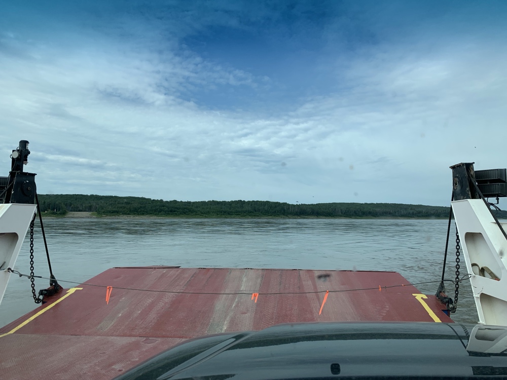
News Flash: As of the end of June 2019, THERE IS NO FUEL at the Checkpoint Junction!!
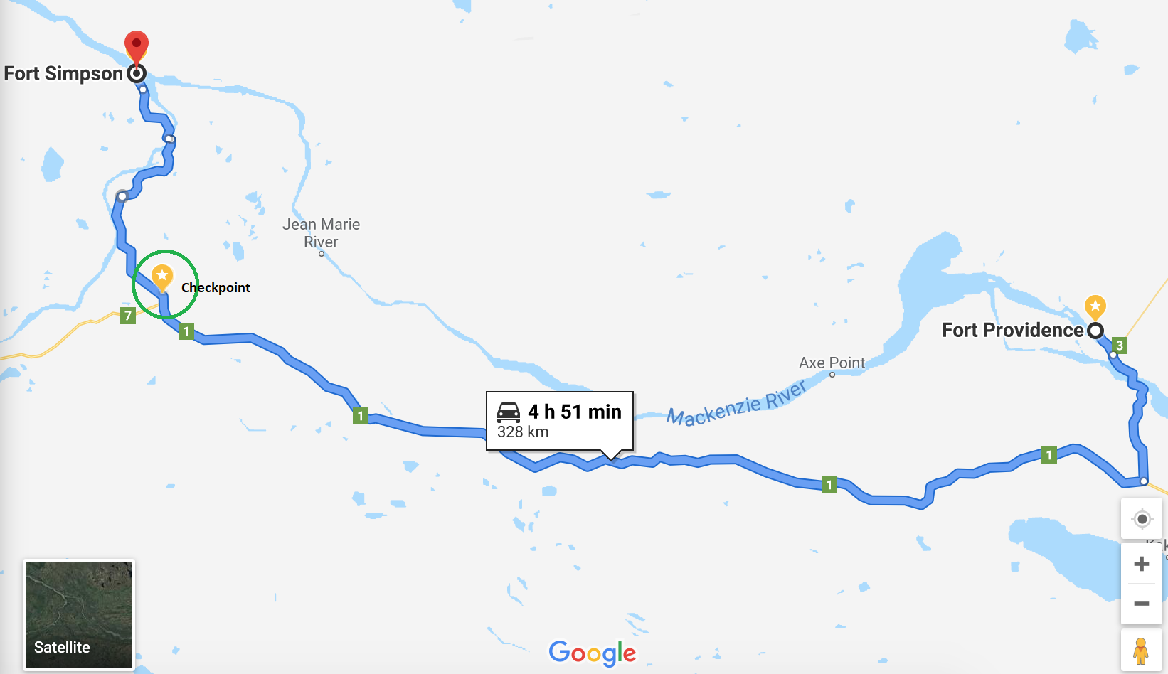
So I wasn’t gonna totally wing it. I had a plan, depending on the scenario. Google states that the distance between Fort Providence and Fort Liard is around 487 km (their 11 hour, 43 minute drive time estimate is something else altogether and is not accurate!) which should be no issue doing on one tank of gas however; doing it on a very remote and mostly gravel road that I am unfamiliar with (and who knows how long the actual drive time will be), well that peace of mind thing comes into play again for me. I actually had a gas can with me but felt uncomfortable transporting it filled with gas unless desperate times called for desperate measures.. Go ahead, call me paranoid!
The Checkpoint Junction (that’s me marking it on the map by the way, as Google wouldn’t find it) where the Liard Trail (Highway 7) meets the Mackenzie Highway 1 is roughly 265 km along so this was the deal: If there was gas at Checkpoint, then I would top up and continue on down the Liard Trail to Fort Liard and if not, then I would detour up to Fort Simpson to top up there.
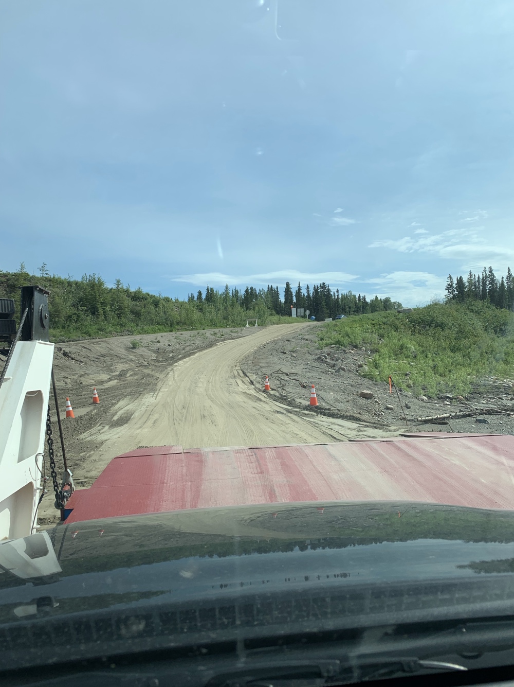
I didn’t really want to do the jaunt up to Fort Simpson, as it was 61 km one way off my planned route but at the same time, 61 km really isn’t that far in the grand scheme of things, and why am I in a rush anyway?? Going to Fort Simpson would officially have me visiting all the little ‘detours’ off my planned loop around NWT, and to get to Fort Simpson, there is a ferry! Apparently they haven’t built a bridge over the Liard River yet. WHO DOESN’T WANT TO GO ON A FERRY RIDE??!! It’s even FREE!
Soon after leaving Fort Providence, the highway turned to dirt and gravel. No idea why but I was expecting gravel more toward the junction. Nope, it got down and dirty (or should i say dusty) almost as soon as I was back on the Mackenzie Highway west of the Fort Providence and Yellowknife turnoff. Speed limit was 80 km/h if I remember correctly and I also remember I did less than that most of the way. For some spots I couldn’t believe the speed limit was that high, haha. The weather was hot and dusty the whole way and there was next to no traffic on the road, but every once in a while someone with a NWT license plate would blast past me 😛
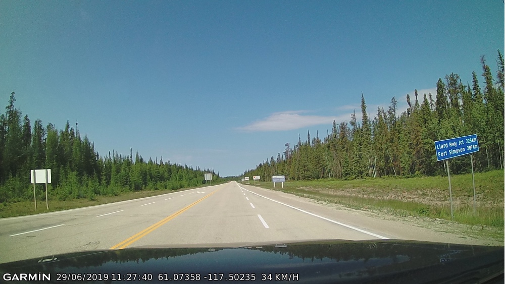
Here is the paved portion of the highway just before the gravel starts:
And the quality of the highway changing:
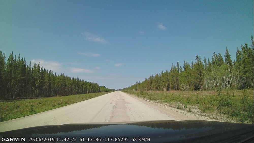
And changing some more:
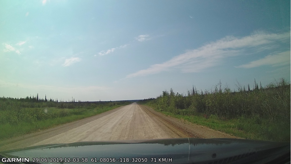
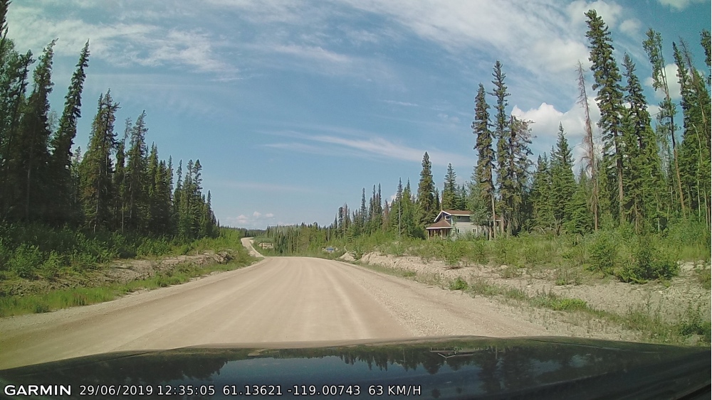
A house!! Aside from a couple turnoffs to campgrounds, this was the only thing I saw other than trees, road, and sky:
So yeah, got to Checkpoint and NO WORKING GAS PUMPS! There was a large gravel parking lot that had old pumps with overgrown brush around them, along with a Bed & Breakfast that I think might have been open…? I didn’t get out to look (FLYING MONSTERS), but there was furniture and things outside that made it look like it might be inhabited. I don’t recall seeing any non-abandoned vehicles around though, or humans. And no I didn’t take any pictures, SIGH!
Onward to the village of Fort Simpson which is apparently its own island, population around 1,200 as per Google in 2016. The highway from Checkpoint to Fort Simpson is paved, yay! Not gonna lie though, the highlight of the detour was the ferry! It goes on demand and took about 10 minutes to cross the river. This ferry was to cross the Liard River and continue along Highway 1 all the way up to Wrigley (another 5 hours) if you wanted. No thanks, not this trip. There was a turnoff to Fort Simpson with another river crossing across a piece of the Mackenzie River that had a bridge.
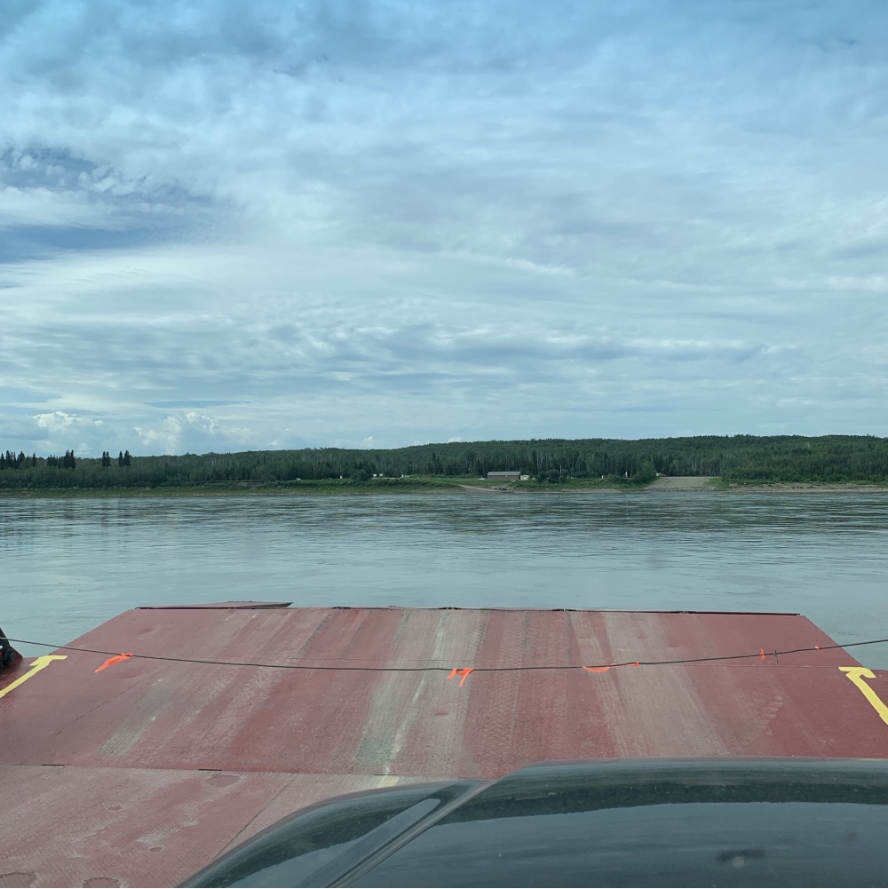
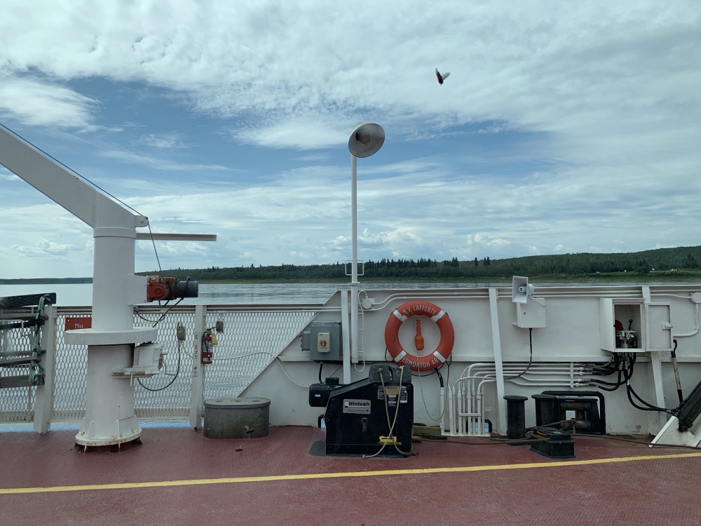
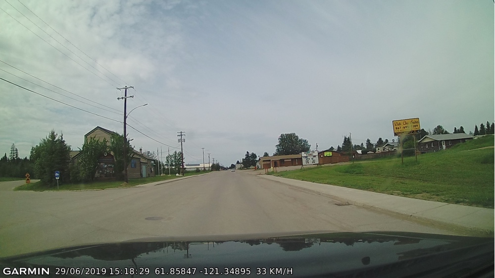
Oh and another highlight was an Asian restaurant called Pandaville! I love the name! Where is my picture of their sign, GUUUH!! I went in but not to eat. The gas station/convenience store with attached grocery/hardware store did not have a bathroom that I could find. I went souvenir hunting though in the stores and NOTHIN’!! Well, the grocery/hardware store had some shirts but that was all I saw, geeeez!
Here is the main drag in Fort Simpson. Pandaville is in the reddish building to the right, along with a bar and some accommodations:
So yep, drove 60+ km and took the ferry over to Fort Simpson, fueled up and looked for souvenirs, went wee and drove 60+ km back with ferry to the Checkpoint Junction 🙂