Top of The World (Hwy 9) yes but first: The rest Highway 5 (the Taylor), from Chicken to the Eagle junction. At the junction the Taylor Highway goes north to Eagle, a city (population 83 as of 2017 as per Google) that is about a three hour drive (145 km) from Chicken. I read somewhere that RVs and large trailers are not recommended on that route.
If you continue east, the highway name changes to Top of The World Highway 9.
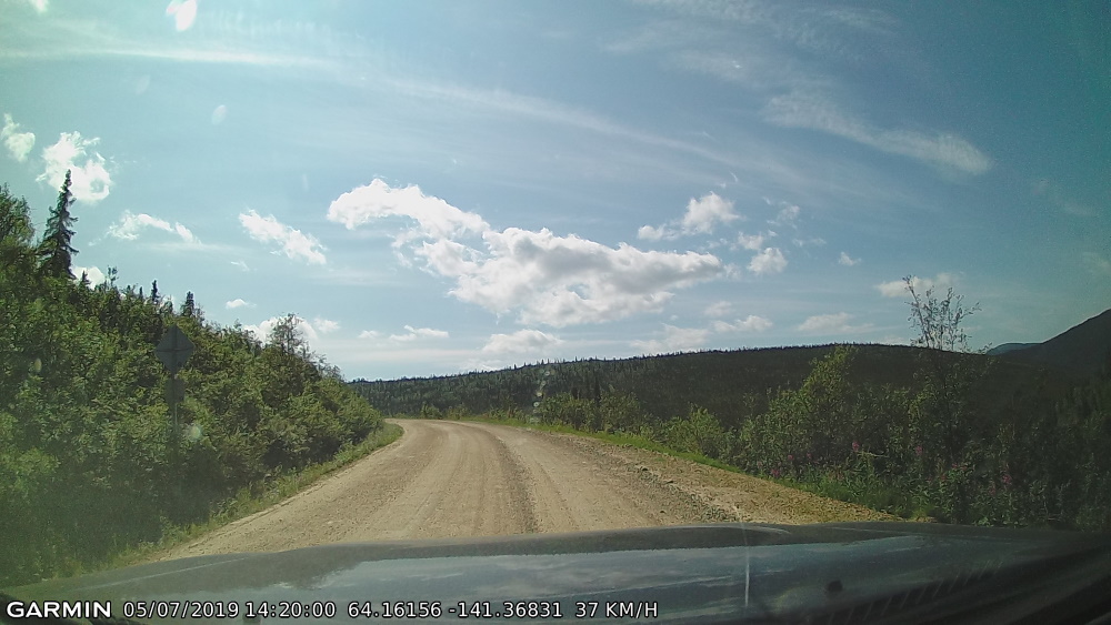
But the stretch from Chicken to the junction… WOAH. The first thing I can say is that this road makes the Liard Trail in NWT seem like child’s play. I remember that while the Liard is a gravel road, it was wide and flat, AND at ground level. HA!
First off, the highway (we are still on the Taylor Highway 5 at this point) wasted no time changing to gravel as soon as I left Chicken heading east. Went over the bridge and around the corner and BAM!! Pavement gone.
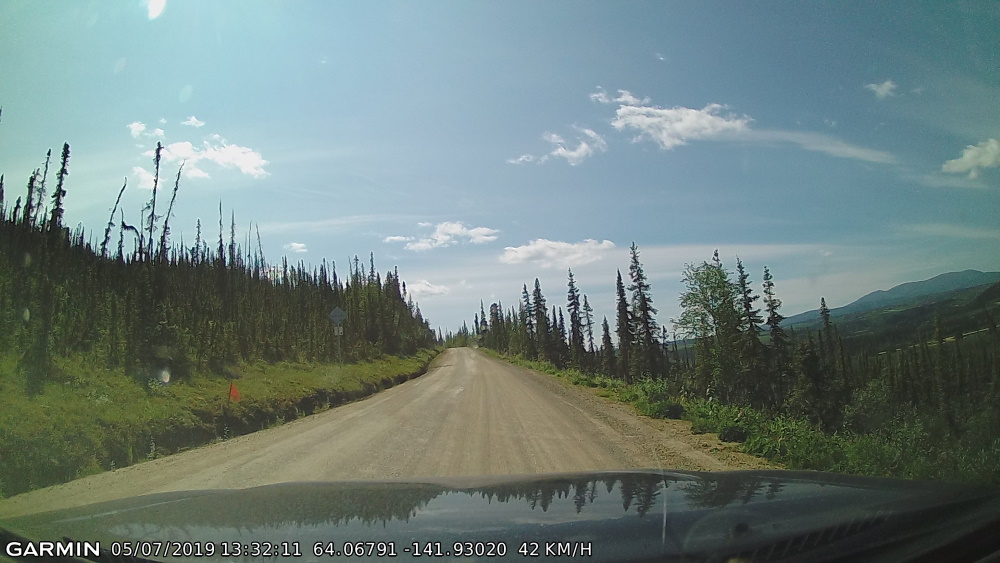
The gravel conditions were good with no potholes, bumps, dips, etc… Amazing actually, however; This is a very skinny road, barely wide enough for two vehicles to pass by each other in opposite directions.
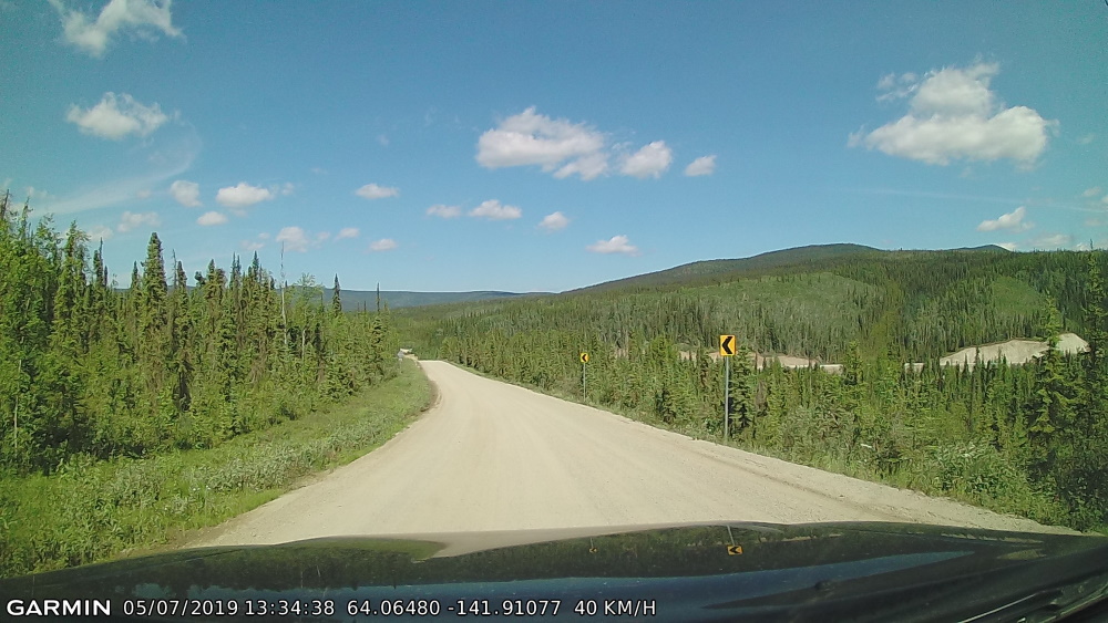
I don’t think that any of these pictures will do this highway justice in making a point about the cliff drops. One side of the road would be a rocky wall while the other was a steep DROP, falling down forever and ever, from what I could tell anyway. The cliff side versus rock side took turns changing sides throughout the drive. For most of the way there were no guardrails or concrete blocks or anything to stop you from going off the edge. There were occasional sections with trees that might help break a fall. The road was super winding and curvy, including more than a few hairpin curves. With some of the corners you could not see if another vehicle was coming from the opposite direction.
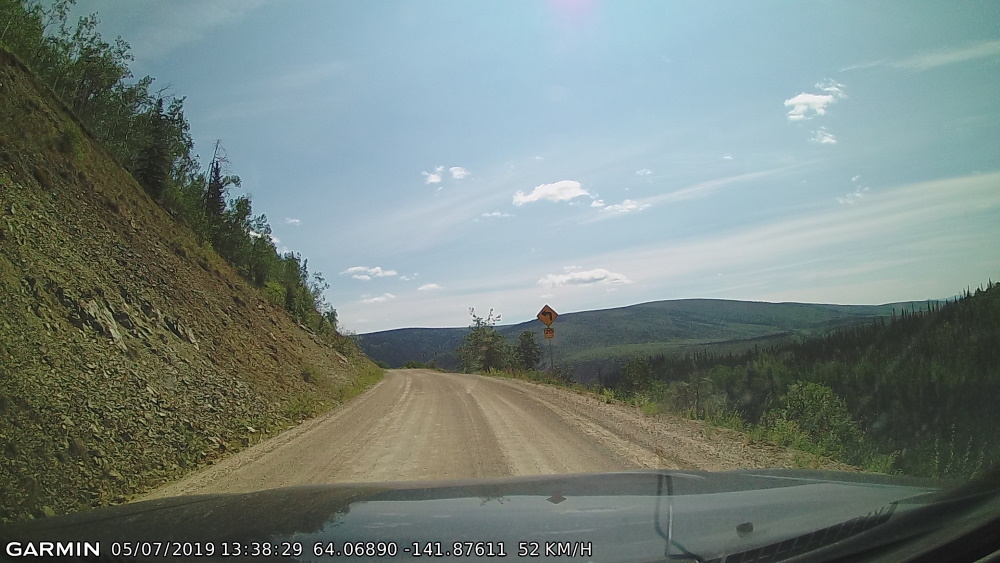
Skinny skinny road this is!! I met a couple vehicles going in the other direction, RVs and trailers (did they know what they were getting themselves into?), and we pretty much had to stop and slowly inch by one another. This always seemed to happen when I was on the cliff side, sigh!
Speed limit was 50 MPH on this thing!! I was hard pressed to do 50 KPH which I didn’t even reach that a lot of the time.
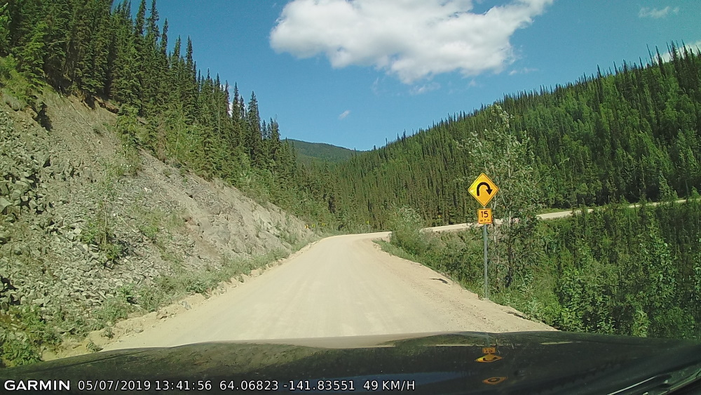
Thankfully the ride was less than an hour going at slow speeds but it seemed to take a very long time. If you didn’t pay attention for a split second or even blinked at the wrong time, you’d be driving off a cliff before you knew it.
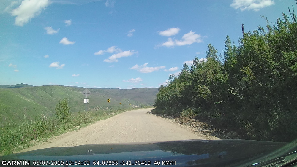
It was so BEAUTIFUL though… The scenery was INTENSE!!! But eyes on the road, eyes on the road!!
Aaaaand someone ran into trouble… A van in the ditch (not sure if it’s actually a ditch since it’s on the cliff side)
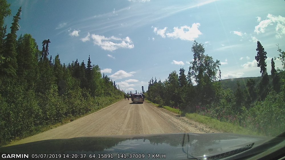
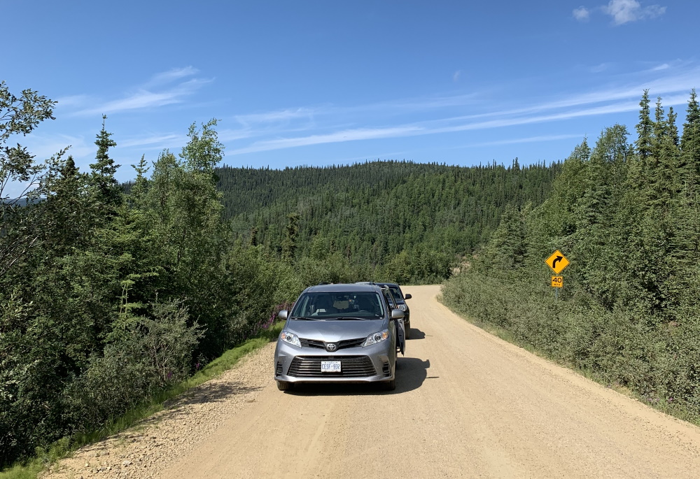
I wasn’t the only person on the road, my truck is behind this rental car from Ontario (below), rented by some guys from Italy out and about and touring the highways. They said they had been stopped here for about an hour when I arrived. There was another vehicle that came up behind me, a female traveling solo as well.
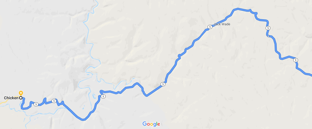
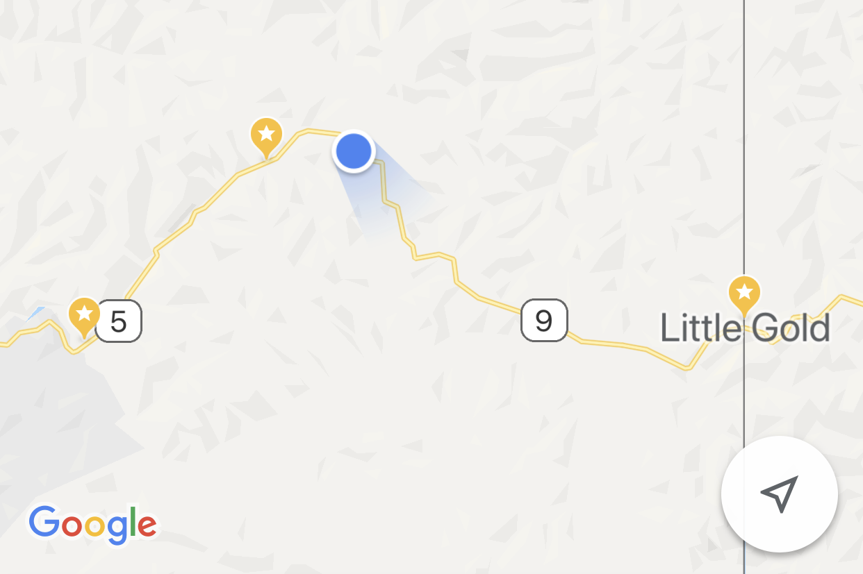
The approximate location on my phone with the left most star being Chicken and Little Gold being at the border:
The tow truck was already here by the time I reached this spot, so I did not see what happened however; Upon getting a closer look, the van was down the embankment, and from what it looked like, the only thing that prevented it from falling a million miles to its death was that it hit a tree. I’m not sure if that was actually the case but in looking over the side of the road on the right, there is a pretty far drop.
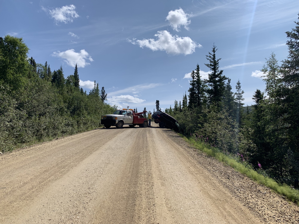
This one minute video below shows the tow truck pulling the van out:
Success!!
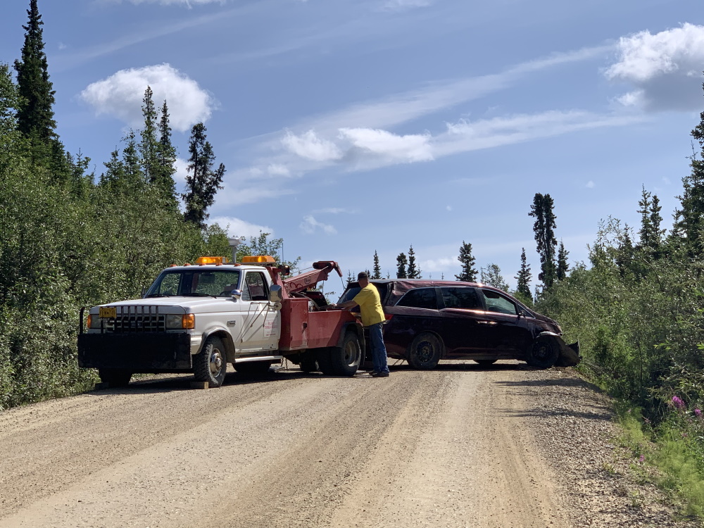
Ok then! Well that was that. And then suddenly just a few minutes east on the other side of the incident was the Eagle junction!
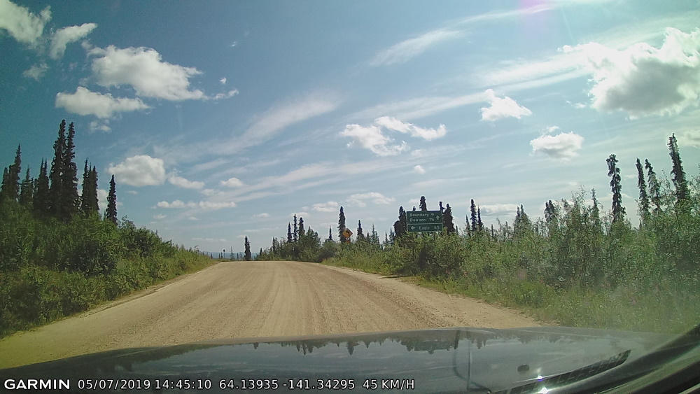
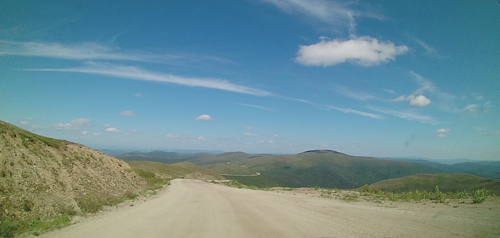
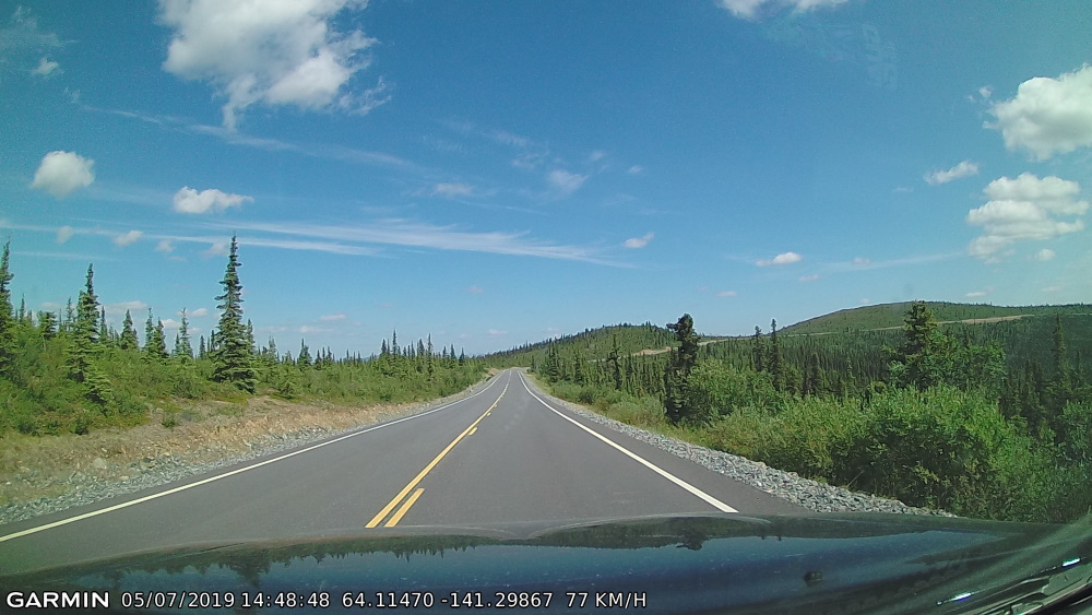
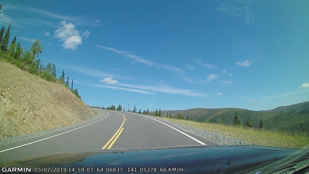
And shortly after the junction, PAVEMENT!! And big, wide, smooth highway!! We are at the Top of The World Highway now, yippee!!
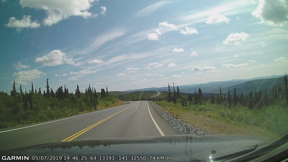
Had to post a few pictures of this amazing road (it felt brand new), in case you don’t understand how GLORIOUS it was to be on this portion after what I had just finished tackling:
Still had to pay attention though… That is a very large drop off to the right:
The Alaska / Yukon North border with Canada Customs up ahead, about 20 minutes from the Eagle junction:
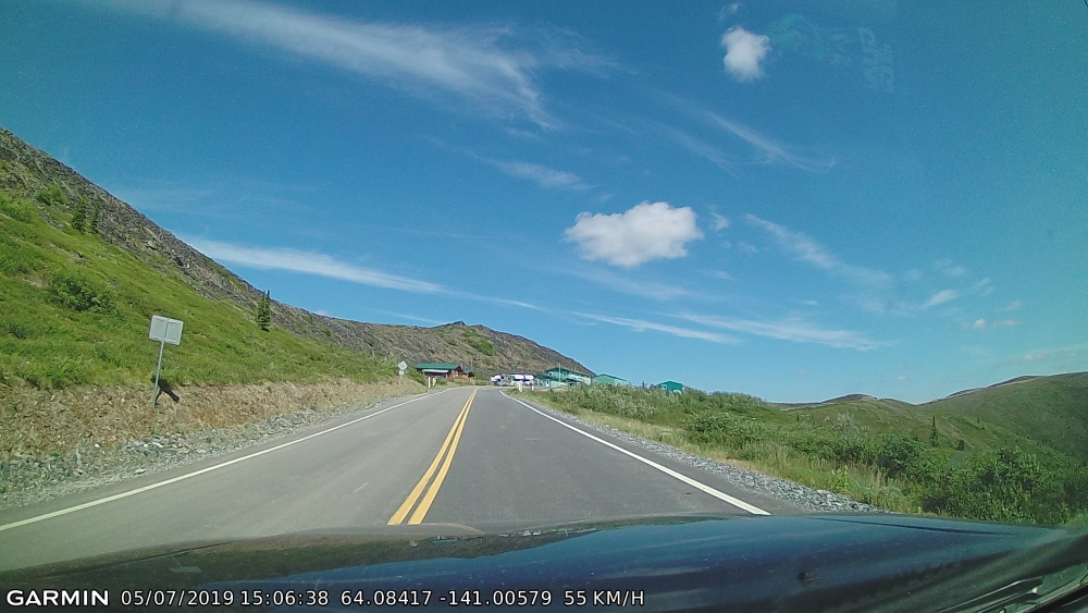
And then after the border heading toward Dawson City, BAM!! The centre line ends and we’re back to gravel, noooooo! All the way to Dawson City. I guess this is why Google said it would take 3 hours to do this 107 km stretch!
Why the heck was there that one spot of beautiful paved road amidst the rest of the route??! A tease I tell ya!! I’m sure it was because of the border crossing.
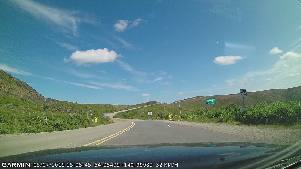
At least this portion of the highway was mostly wide open with a lot more room for vehicles to pass each other. Still not much for guardrails though and you could still drive off into infinity and beyond!!
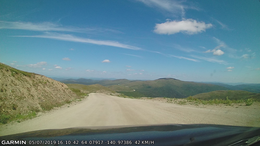
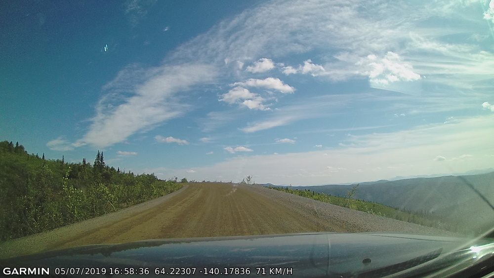
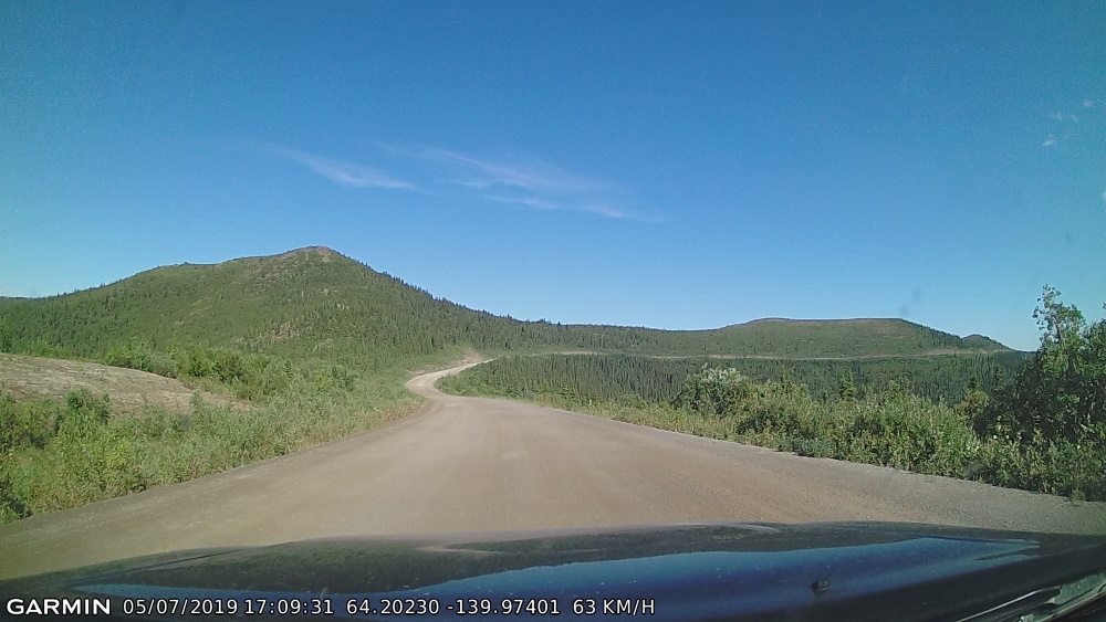
Two and a half hours later… Guardrails (below)!! We are getting real close to Dawson at this point:
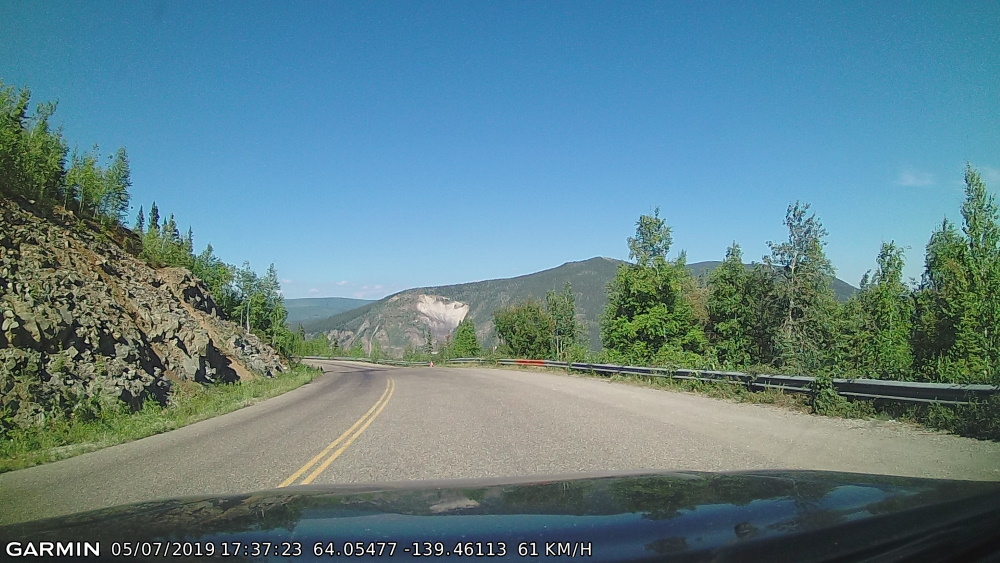
Aaaaah, made it to the ferry to cross the Yukon River and arrive in Dawson City on the other side:
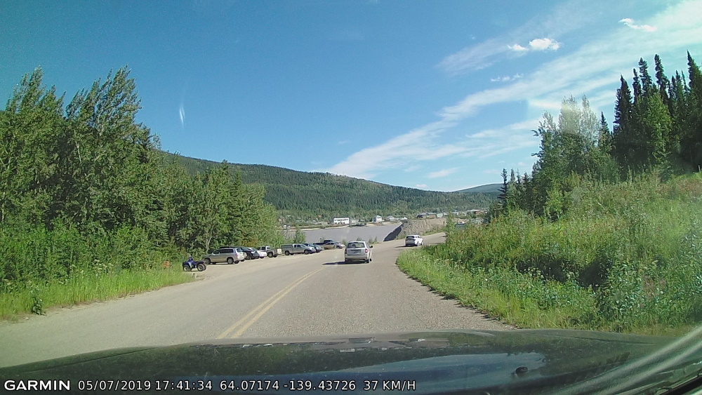
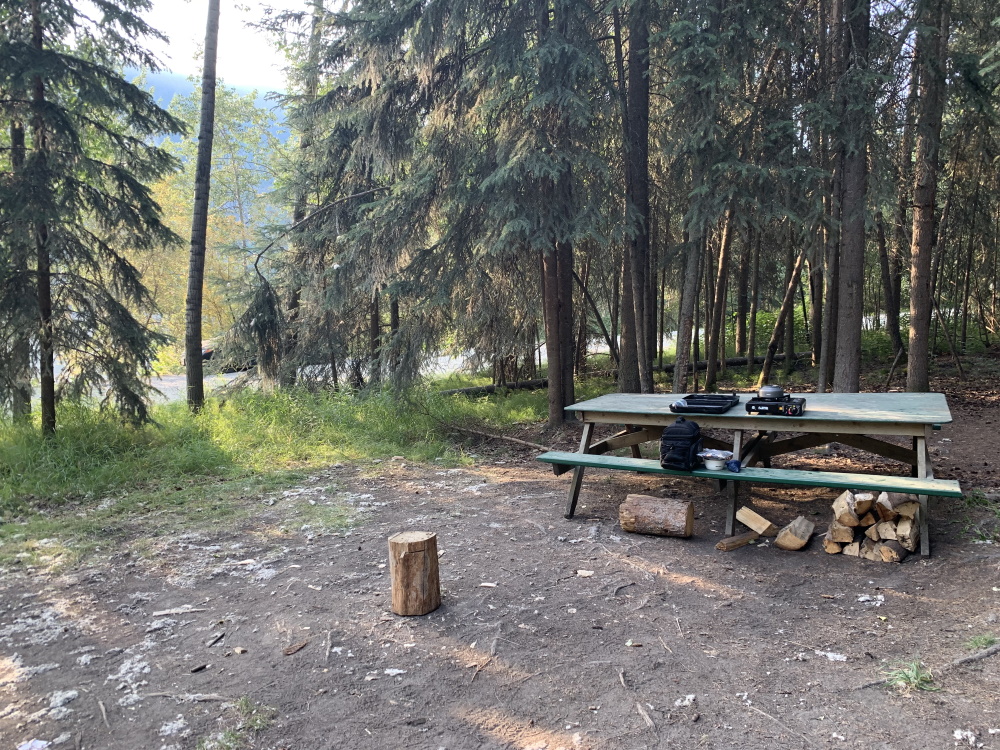
Caught the ferry over, then took it back again to the Top of The World highway side (all reasonably priced accommodation in the city was booked up) and parked at the Yukon River campground which was right beside the ferry terminal… ‘IT’S MILLER TIME!!’