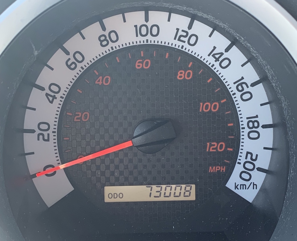
“If I take one more step, it’ll be the farthest away from home I’ve ever been…” – Samwise Gamgee. Well not exactly, I’ve been further, a lot further! But with setting out on a road trip north and passing the Edmonton, AB area, this is the furthest I’ve driven my own vehicle in any direction other than west of course, and this quote from Lord of The Rings kept running through my head. Oh the excitement of discovering uncharted (for me) lands!!
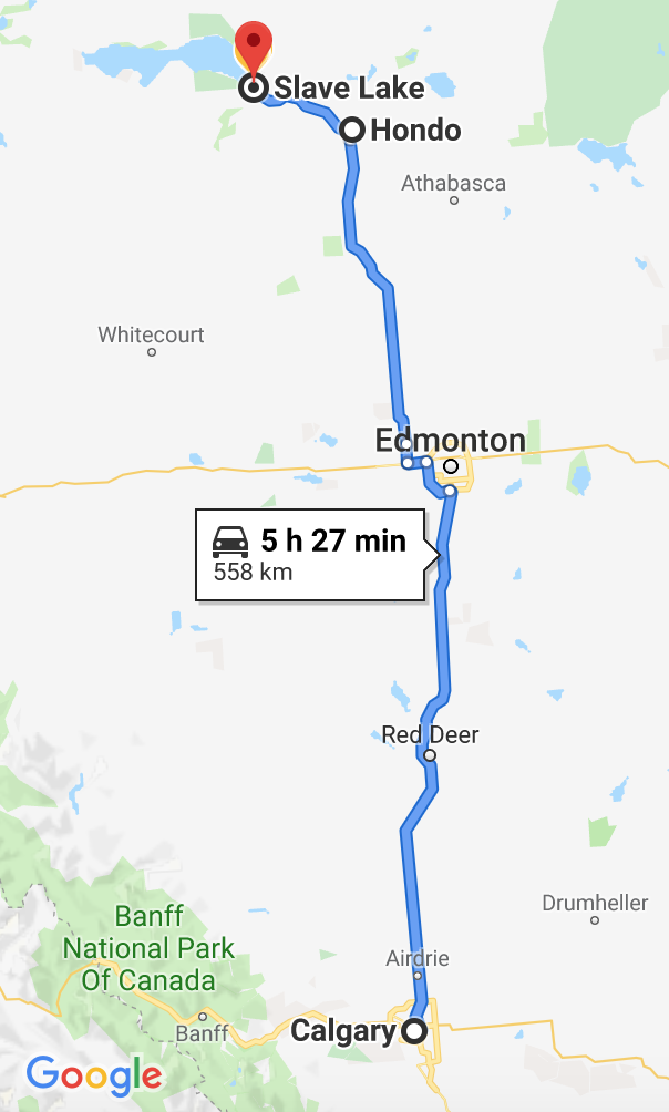
Soooooo… Starting at 73,008 km on the odometer, my plan is to hit the road and tour through Northwest Territories, Yukon, and Alaska. This is a very loose plan in that my route and destinations along the way could change depending on how things are going and how I’m feeling at any given time. While I am keeping somewhat of a schedule (roughly a 3 week timeline), I don’t want it to be too strict, as I want to wing it for the most part, meaning I don’t want to say, “Ok on this specific day I’ll be in this particular town to do this one thing” etc. Mostly this trip is for the drive itself and potentially the odd geocache, with NO plans to stay anywhere for any great length of time to do touristy stuff!
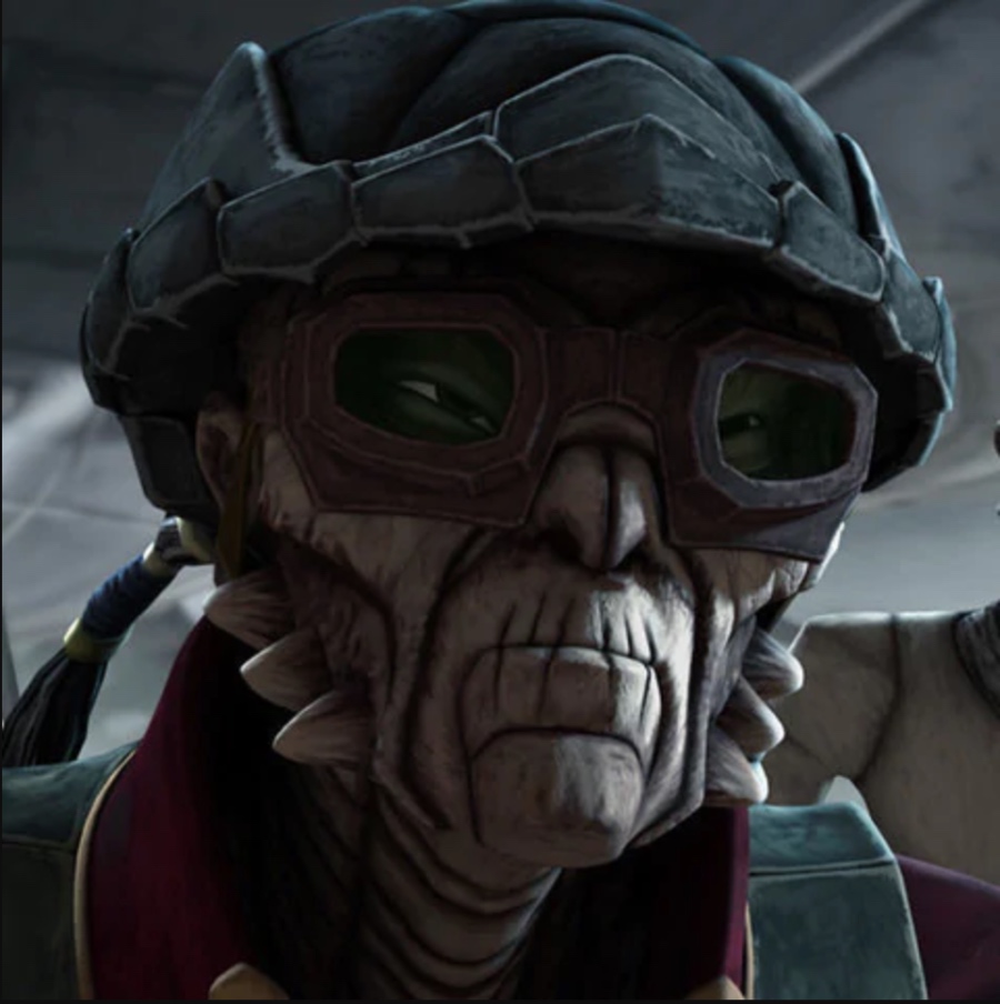
In order to reach the Northwest Territories I had to get through northern Alberta first which I wasn’t overly excited about, but it was still interesting in that I had never actually visited the towns I’ve heard so much about (mainly because of forest fires), Slave Lake and High Level. From Edmonton I headed north on Highway 44 which turns into Highway 2 just before Slave Lake. And OH. MY. GOD!!! I noticed on Google along my route, there is a community called HONDO!!! Hondo Ohnaka, one of my FAVOURITE Star Wars characters from the animated series’, that space pirate we can’t help but love so much… Who knew he’d have his own place on the map right here in Alberta??!!!! And lo and behold, the community of Hondo has some geocaches marked on the map as well, how convenient!
So yeah, had to make a stop there and check it out! Unfortunately it was a bit underwhelming, and a little terrifying too! The first geocache I had intended to investigate appeared to be near a rest stop just before the turnoff to Hondo, so I pulled over there. That’s where the scariness began. The BUGS. The flying MONSTERS surrounding my truck, I was literally terrified to open the door. They were HUGE! Couldn’t tell really if they were black flies, horse flies, or worse, but they were massive, and LOUD. I could hear them buzzing while I sat inside my truck. Pretty sure there were bees out there too, the mean kind, like hornets and wasps and again, HUGE. And mosquitos? Yes them too, in swarms however; they seemed like child’s play considering what else was flying around out there. This was only my first dose of these insects throughout my trip.
This was one of those instances where another Lord of The Rings quote came to mind, at the part where Frodo and Gollum reach the tunnel known as Shelob’s Lair and Gollum tells Frodo he must go inside the tunnel. Frodo says now that he’s there, “I don’t think I want to.” That was me on the idea of getting out of my truck. These flying beasts were enough for me to say, ‘Nope! I ain’t going out there!’ It was hard to get a good picture of them buzzing around outside, despite their size. Did I mention they were HUGE??
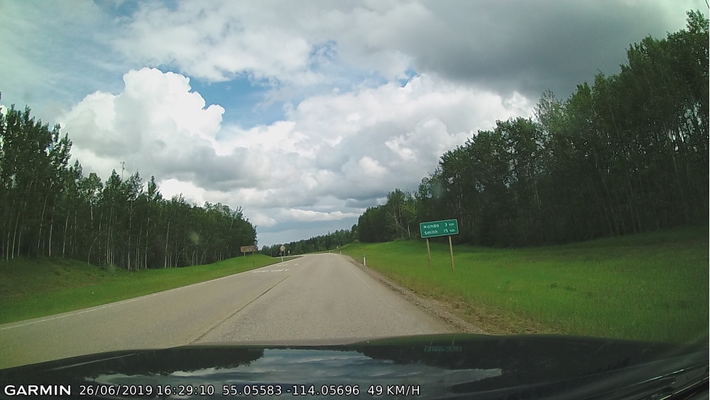
And oh yeah, I’m experimenting with a dash cam for my trip! A new toy I guess, it’s just a tiny little thing mounted to my windshield that is always recording, but it snaps pictures as well! Helps a lot when you’re the only person in your vehicle and can’t just whip out the phone and start taking pictures of the scenery. And the information it displays at the bottom is amazing as well! It’s got date and time stamp along with GPS co-ordinates and traveling speed, wow, love it!
Below is a picture of the road heading into Hondo, after the Highway 2 turnoff:
And here is a picture of Hondo, a community with no services. A series of dirt roads, with driveway turnouts every so often. There was another geocache in here which I also refused to get out for. It appeared to be on someone’s property for which the house may have been abandoned, I couldn’t tell for sure. There were no people or vehicles around, and it was quiet. So quiet. After pulling over on the side of the road, the co-ordinates were indicating I go into a heavily wooded area on that property. Ummmm no. Unnerving. Plus the flying monsters were still out there. Maybe I’m just a wimp! I’ve said it before, geocaching I think is one of those things done better with a buddy!
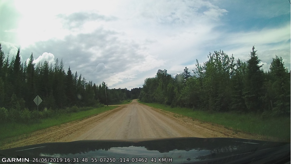
Bye bye Hondo, I can at least say, ‘Been there, done that’! I think I’ll stick with the Hondo I know and love, Hondo Ohnaka. Onward to Slave Lake!
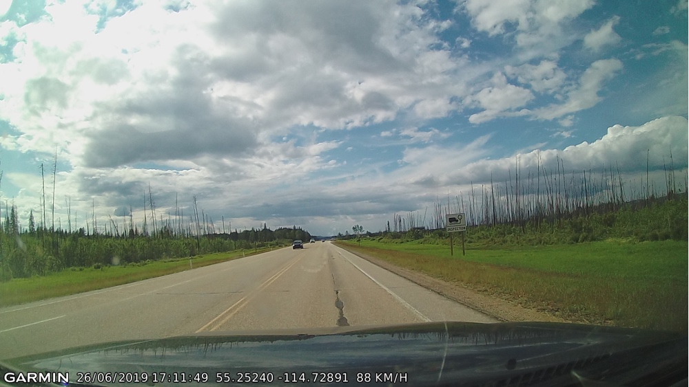
Between Hondo and Slave Lake, the highway view was mostly of skeleton trees, which I can only presume is the result of the forest fires back in 2011, but I could be wrong! This view went on and on for what seemed like miles, even north of Slave Lake on the way to High Level the view was similar for the first bit:
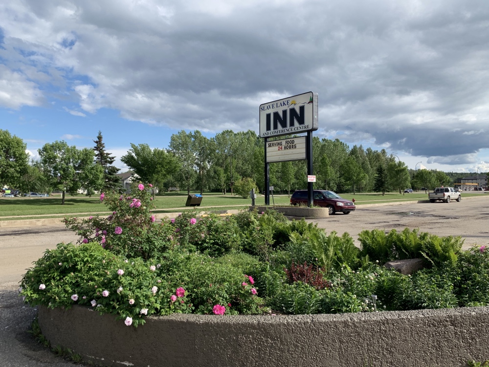
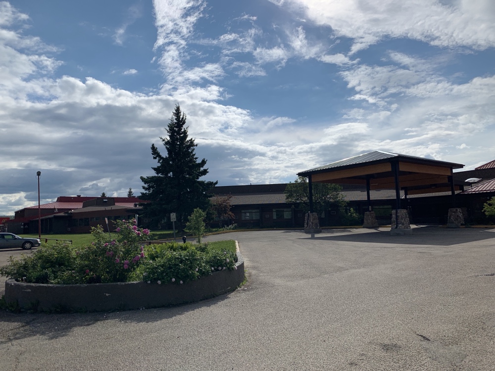
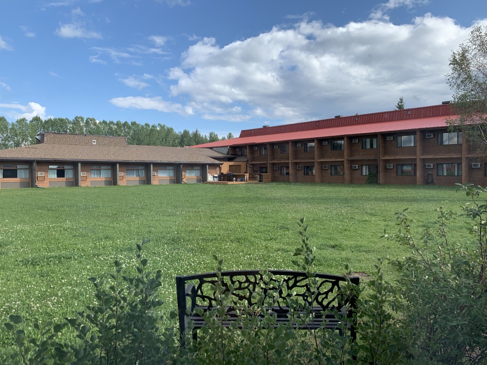
Arrived at Slave Lake and stayed at the Inn. The flying beasts outside seemed to have disappeared, THANK THE GODS!!
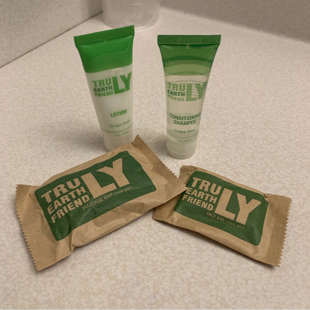
I’m always interested to see what toiletries are available in hotel rooms, as they are the perfect travel size. I had high hopes for this brand called Truly Earth Friendly, and it does turn out to be pretty good, only one out of four of these products has the chemical ingredient I’m allergic to: Methylisothiazinolone or Methylchloroisothiazinoline. The conditioning shampoo is the guilty party, so I left that and took the rest!
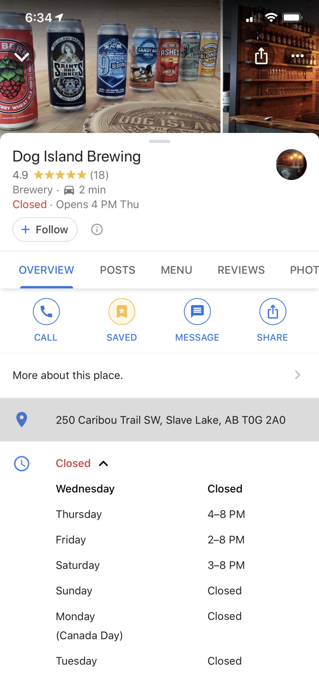
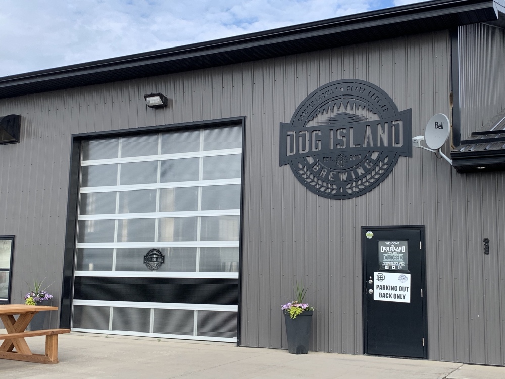
Slave Lake has a brewery, Dog Island, and wow it has the most inconvenient hours on the planet!! I would have loved to visit, but with arriving on a Wednesday, I had no luck there! I guess I could have stayed another day and waited for it to open, or I could have left home a day later if I knew better, oh well. Still stopped by to take a picture of the outside, which looks very nice. Next time Dog Island! And I’ll look for your brews in Calgary!
Slave Lake had some geocaches, and I found a super cool one, a keychain exchange! See my separate post: Slave Lake Keychain Cache.
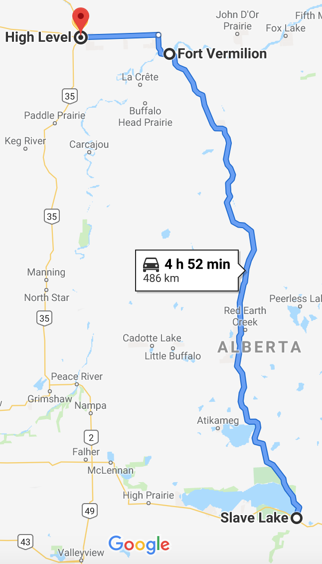
Next up was the drive to High Level, where according to the news and numerous websites, there are currently forest fires burning out of control. Sounds like the fires were closer to Highway 35 rather than the route I took from Slave Lake, Highway 88. I expected High Level to be smoky though and it certainly wasn’t. You’d never know anything was going on there the day I arrived.
I pit stopped briefly in Fort Vermilion for fuel, although I probably could have gone all the way to High Level on one tank of gas. Had about a quarter tank left at Fort Vermilion and High Level was only around another 80km, but I value peace of mind above many other things!
The bugs were back for this drive and they were out in numbers. The grill over my truck was absolutely covered with huge dead beasts, not to mention my windshield!
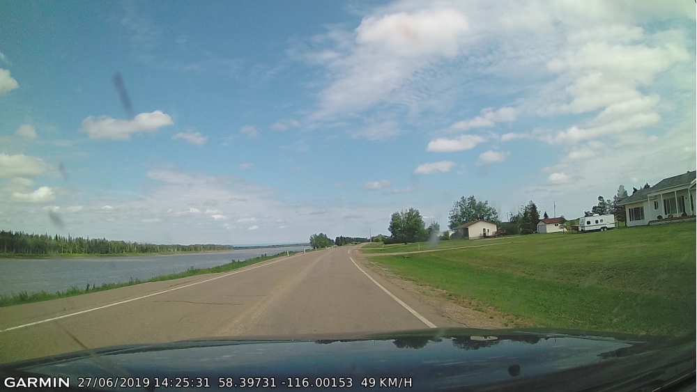
This is Fort Vermilion, AB with the Peace River on the left:
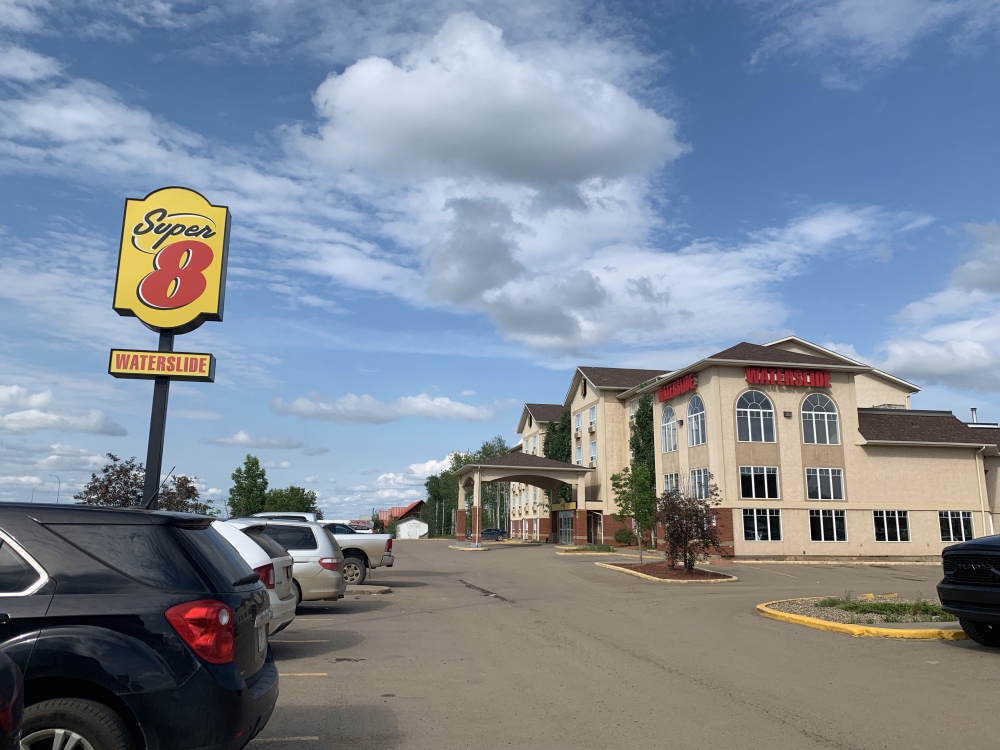
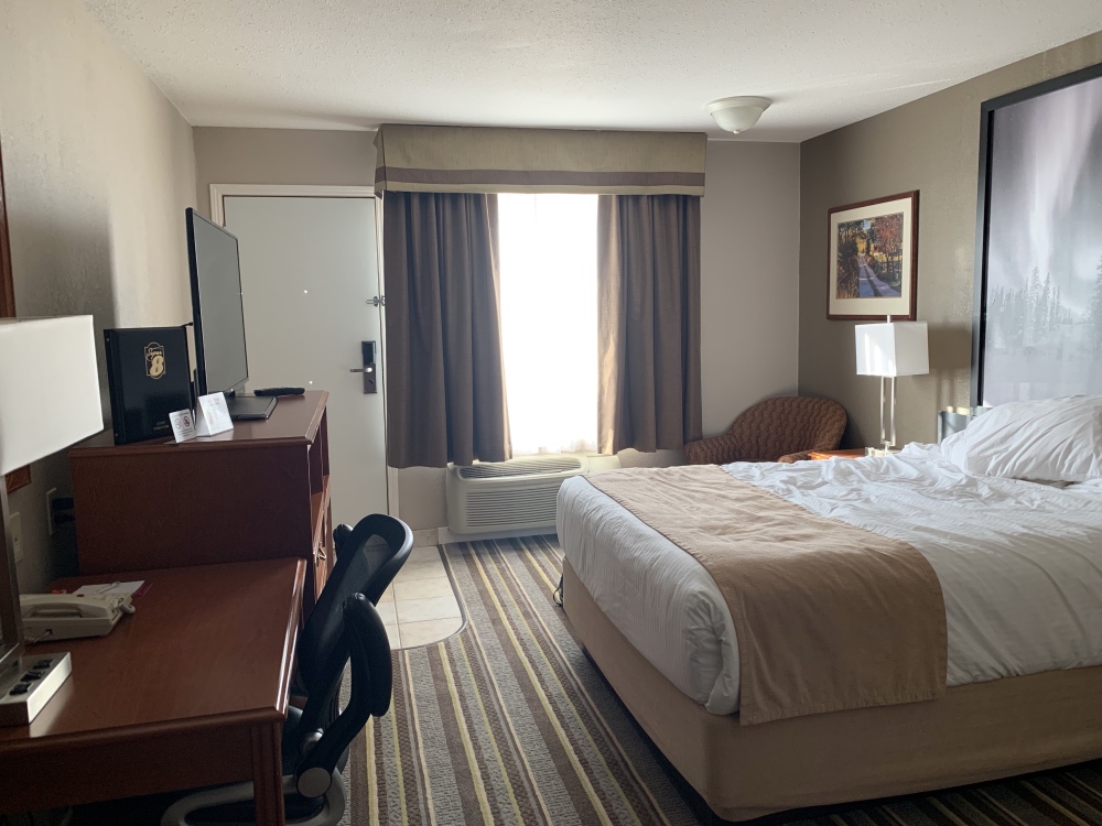
Stayed at the Super 8 in High Level, AB. There was a Boston Pizza next door and a Tim Horton’s across the street, kinda: